Research
Co-author of “Coastal lagoons of Greece: An inventory and implications for future challenges,” a 2026 manuscript currently under review.
Research inventory and public WebGIS
A national inventory and interactive geospatial platform for examining the form, distribution, and projected sea-level exposure of Greek coastal lagoons. The WebGIS makes the research dataset accessible through mapped lagoon boundaries, morphometric information, structured search, and scenario-based exploration.
Manuscript under review, 2026
Open WebGIS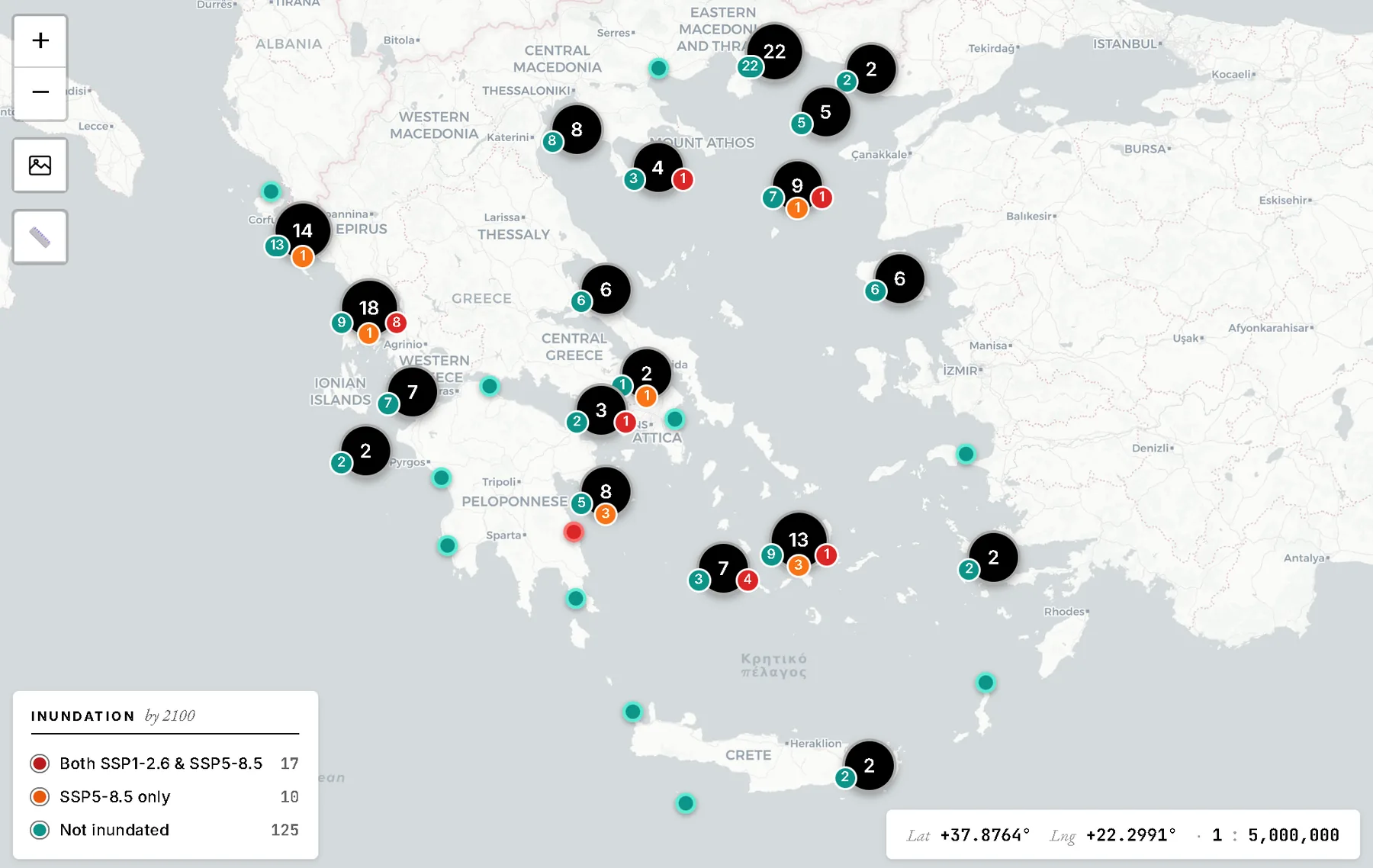
Research inventory and public WebGIS.
Co-author of “Coastal lagoons of Greece: An inventory and implications for future challenges,” a 2026 manuscript currently under review.
Designed and developed the public WebGIS used to explore the inventory, communicate its findings, and support structured spatial enquiry.
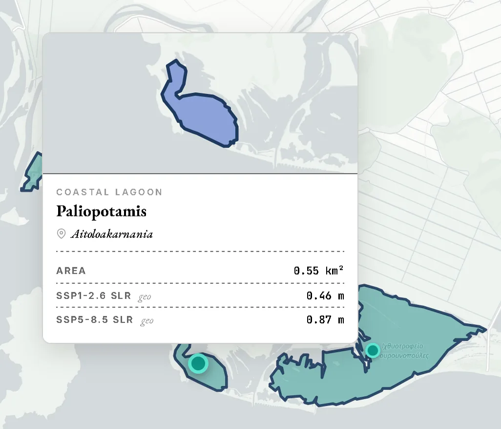
Lagoon boundaries, location, morphometry, and individual detail views
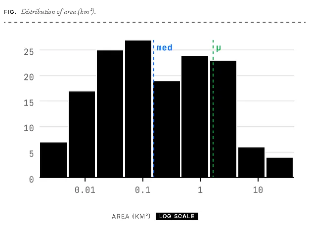
Search, filters, statistics, and a structured query builder
SSP1-2.6 and SSP5-8.5 sea-level scenarios, adjusted for vertical land movement where data are available
The interface moves from the country-scale inventory to lagoon-level geometry, attributes, scenarios, and summary statistics.
The public interface provides access to the inventory while the associated manuscript remains under review.
Open the Coastal Lagoons WebGIS